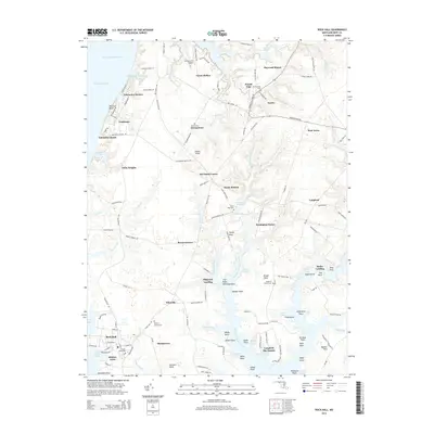
2014 Map of Rock Hall
USGS Topo · Published 2014About this map
The Kent County coastline along the Chesapeake Bay reveals a landscape defined by deeply indented tidal creeks and historic waterfront settlements. Rock Hall serves as a primary hub in the south, anchored by the Rock Hall Harbor and the neighborhood of Hidden Acres. Moving inland, the map captures a network of rural crossroads and established estates such as Langford and Fairlee, where agricultural heritage is preserved in landmarks like Remington Farms.
Find a feature on this map
141 named features on this map. Tap any name to fly to it.
Don’t see what you’re looking for? This feature index may not catch every label — zoom into the map to look around manually.
Map Details
Editions of this 2014 Rock Hall Map
This is the sole edition of this map. No revisions or reprints were ever made.
Other maps of this area

1893 · North Point
USGS Topo · 1:62,500

1893 · Gunpowder
USGS Topo · 1:62,500

1898 · Tolchester
USGS Topo · 1:125,000

1900 · Betterton
USGS Topo · 1:62,500

1901 · Chestertown
USGS Topo · 1:62,500

1901 · Gunpowder
USGS Topo · 1:62,500

1903 · Tolchester
USGS Topo · 1:125,000

1904 · North Point
USGS Topo · 1:62,500

1908 · Tolchester
USGS Topo · 1:125,000

1920 · Chestertown
USGS Topo · 1:62,500