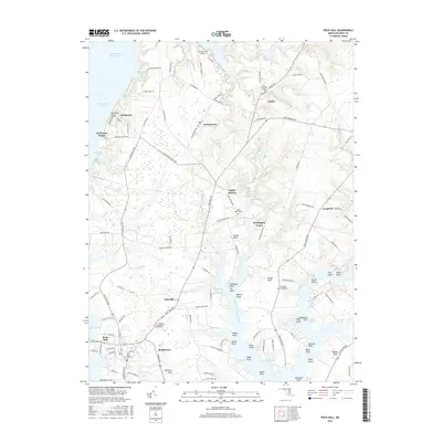
2016 Map of Rock Hall
USGS Topo · Published 2016About this map
Rock Hall and its surrounding Eastern Shore landscapes are defined by an intricate network of tidal creeks and coves feeding into the Chesapeake Bay. The coastline near Tolchester Beach and Mitchell Bluff transitions inland to a mosaic of farmland and small communities like Fairlee, Georgetown, and Edesville. This area is particularly rich in genealogical data, preserving the locations of numerous historic burial grounds including Saint Pauls Cem, Mount Pleasant Cem, and Hadaway Chapel Cem. The map illustrates the hydraulic character of the region, from the Intracoastal Waterway to the enclosed waters of Saint Pauls Millpond and The Haven. Large agricultural and conservation tracts, such as Remington Farms, occupy the interior, while the shoreline is punctuated by numerous named points and coves, including Whale Point and Graveyard Cove, reflecting a long history of maritime activity and local land ownership along West Fork Langford Creek.
Find a feature on this map
134 named features on this map. Tap any name to fly to it.
Don’t see what you’re looking for? This feature index may not catch every label — zoom into the map to look around manually.
Map Details
Editions of this 2016 Rock Hall Map
This is the sole edition of this map. No revisions or reprints were ever made.
Other maps of this area

1893 · North Point
USGS Topo · 1:62,500

1893 · Gunpowder
USGS Topo · 1:62,500

1898 · Tolchester
USGS Topo · 1:125,000

1900 · Betterton
USGS Topo · 1:62,500

1901 · Chestertown
USGS Topo · 1:62,500

1901 · Gunpowder
USGS Topo · 1:62,500

1903 · Tolchester
USGS Topo · 1:125,000

1904 · North Point
USGS Topo · 1:62,500

1908 · Tolchester
USGS Topo · 1:125,000

1920 · Chestertown
USGS Topo · 1:62,500