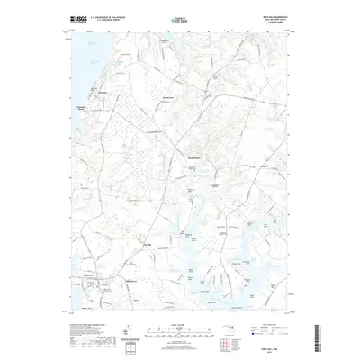
2019 Map of Rock Hall
USGS Topo · Published 2019About this map
Rock Hall and the surrounding Kent County coastline anchor this 2019 survey, where the terrestrial landscape is defined by the intricate fingers of the Chesapeake Channel and West Fork Langford Creek. The area maintains a high concentration of historical religious sites, including Saint Pauls Episcopal Cem and Asbury Methodist Cem, which serve as primary anchors for genealogical research in the settlements of Georgetown and Sandy Bottom.
Find a feature on this map
135 named features on this map. Tap any name to fly to it.
Don’t see what you’re looking for? This feature index may not catch every label — zoom into the map to look around manually.
Map Details
Editions of this 2019 Rock Hall Map
This is the sole edition of this map. No revisions or reprints were ever made.
Other maps of this area

1893 · North Point
USGS Topo · 1:62,500

1893 · Gunpowder
USGS Topo · 1:62,500

1898 · Tolchester
USGS Topo · 1:125,000

1900 · Betterton
USGS Topo · 1:62,500

1901 · Chestertown
USGS Topo · 1:62,500

1901 · Gunpowder
USGS Topo · 1:62,500

1903 · Tolchester
USGS Topo · 1:125,000

1904 · North Point
USGS Topo · 1:62,500

1908 · Tolchester
USGS Topo · 1:125,000

1920 · Chestertown
USGS Topo · 1:62,500