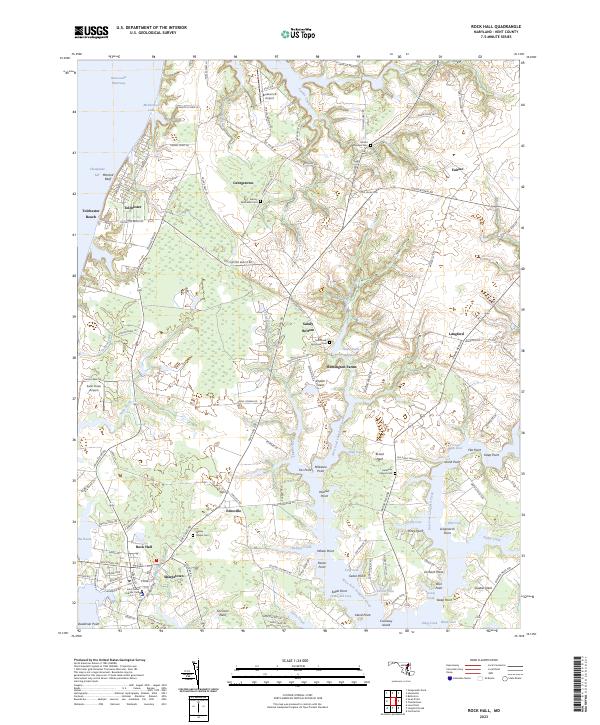
2023 Map of Rock Hall
USGS Topo · Published 2023About this map
The Eastern Shore of Maryland unfolds along the Chesapeake Bay in this recent survey of Kent County. The landscape is defined by the intricate finger-like inlets of West Fork Langford Creek and East Fork Langford Creek, where numerous points and coves like Walnut Point and Graveyard Cove create a complex shoreline. Local history is anchored by a series of long-standing community landmarks, including the Asbury Methodist Cem near Georgetown and the Saint Pauls Episcopal Cem situated by Sandy Bottom.
Find a feature on this map
139 named features on this map. Tap any name to fly to it.
Don’t see what you’re looking for? This feature index may not catch every label — zoom into the map to look around manually.
Map Details
Editions of this 2023 Rock Hall Map
This is the sole edition of this map. No revisions or reprints were ever made.