
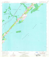
1947 Map of Rock Harbor
USGS Topo · Published 1965About this map
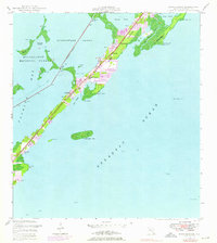
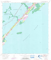
Key Largo's central corridor is defined here by the linear development along the main road, serving as a vital link between the Atlantic Ocean and the mangrove-lined waters of Florida Bay. The primary settlement at Rock Harbor shows a cluster of structures, including the Getman Memorial Ch and a prominent Tower, while smaller outposts like Newport and Thompson anchor the surrounding coast. The mapping reflects a maritime landscape in transition, where the Intracoastal Waterway cuts a straight line through Buttonwood Sound to facilitate transit. To the north and west, the protected wilderness of Everglades National Park encompasses the Swash Keys, contrasting with the more developed pockets of the main island. Maritime history is further marked by numerous beacons and landmarks like Point Charles and the offshore Rodriguez Key, highlighting the importance of navigational aids in these shallow tropical waters.
Find a feature on this map
27 named features on this map. Tap any name to fly to it.
Don’t see what you’re looking for? This feature index may not catch every label — zoom into the map to look around manually.
Map Details
Editions of this 1947 Rock Harbor Map
4 editions found
Other maps of this area

1947 · Garden Cove
USGS Topo · 1:24,000

1947 · Blackwater Sound
USGS Topo · 1:24,000

1949 · Blackwater Sound
USGS Topo · 1:24,000

1949 · Rock Harbor
USGS Topo · 1:24,000

1949 · Garden Cove
USGS Topo · 1:24,000

1956 · Miami
USGS Topo · 1:250,000

1958 · Miami
USGS Topo · 1:250,000

1971 · Tavernier
USGS Topo · 1:24,000

1971 · Plantation Key
USGS Topo · 1:24,000
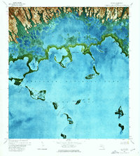
1972 · Joe Bay
USGS Topo · 1:24,000