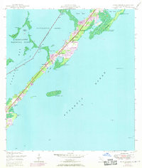
1947 Map of Rock Harbor
USGS Topo · Published 1970About this map
Key Largo stretches across this mid-century survey, showcasing the early development of the Upper Keys along the Overseas Highway. This map documents a transitional period for the islands, where the western shoreline meets the Everglades National Park and the eastern edge opens to the Atlantic Ocean. Local life is anchored by small settlements like Newport and Thompson, with community landmarks such as St Margarets Ch and Gethman Memorial Ch serving as focal points for the growing population.
Find a feature on this map
40 named features on this map. Tap any name to fly to it.
Don’t see what you’re looking for? This feature index may not catch every label — zoom into the map to look around manually.
Map Details
Editions of this 1947 Rock Harbor Map
4 editions found
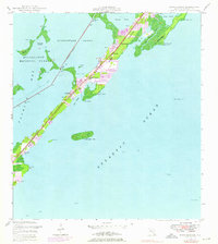
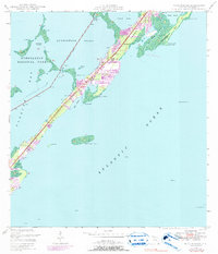
Other maps of this area

1947 · Garden Cove
USGS Topo · 1:24,000

1947 · Rock Harbor
USGS Topo · 1:24,000

1947 · Blackwater Sound
USGS Topo · 1:24,000

1949 · Blackwater Sound
USGS Topo · 1:24,000

1949 · Rock Harbor
USGS Topo · 1:24,000

1949 · Garden Cove
USGS Topo · 1:24,000

1956 · Miami
USGS Topo · 1:250,000

1958 · Miami
USGS Topo · 1:250,000

1971 · Tavernier
USGS Topo · 1:24,000

1971 · Plantation Key
USGS Topo · 1:24,000