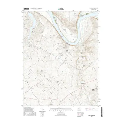
2016 Map of Rock Haven
USGS Topo · Published 2016About this map
The Ohio River carves a sharp, dramatic bend through this landscape, separating Meade County, Kentucky, from Harrison County, Indiana. This riverine geography defines the local character, from the steep bluffs at The Narrows to the alluvial flats near Davidson. The Kentucky side is notably developed, featuring the planned residential community around Doe Valley Lake and the northern reaches of the Fort Knox military reservation.
Find a feature on this map
157 named features on this map. Tap any name to fly to it.
Don’t see what you’re looking for? This feature index may not catch every label — zoom into the map to look around manually.
Map Details
Editions of this 2016 Rock Haven Map
This is the sole edition of this map. No revisions or reprints were ever made.
Other maps of this area

1909 · Kosmosdale
USGS Topo · 1:48,000

1912 · Kosmosdale
USGS Topo · 1:62,500

1931 · Corydon
USGS Topo · 1:62,500

1936 · Vine Grove
USGS Topo · 1:62,500

1941 · Ekron
USGS Topo · 1:62,500

1943 · Vine Grove
USGS Topo · 1:62,500

1946 · Rock Haven
USGS Topo · 1:24,000

1946 · Fort Knox
USGS Topo · 1:24,000

1946 · Vine Grove
USGS Topo · 1:24,000

1946 · Vine Grove
USGS Topo · 1:62,500