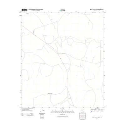
2012 Map of Rock House Draw
USGS Topo · Published 2012About this map
Rock House Draw and its network of seasonal watercourses define this stretch of Pecos County, where the high desert landscape is punctuated by a network of ranching roads and intermittent streams. The 2012 topography shows a sparsely populated area dominated by the movement of water during rare rain events, with the winding path of Independence Cr cutting through the southeastern corner. Transportation through the region relies on Co Hwy 2023, which cuts a diagonal line across the landscape toward the heart of the draw. This map captures the modern footprint of the area's rural infrastructure, where long-established ranching pathways like Gray Ranch Rd connect with natural landmarks like Nineteen Draw. The map serves as a detailed record of water drainage and land divisions in a region where surface water is the most critical geographic factor.
Find a feature on this map
5 named features on this map. Tap any name to fly to it.
Don’t see what you’re looking for? This feature index may not catch every label — zoom into the map to look around manually.
Map Details
Editions of this 2012 Rock House Draw Map
This is the sole edition of this map. No revisions or reprints were ever made.
Other maps of this area

1920 · Longfellow
USGS Topo · 1:125,000

1928 · Sanderson
USGS Topo · 1:125,000

1928 · Comanche Spring
USGS Topo · 1:125,000

1929 · Independence Draw Quadrangle
USGS Topo · 1:125,000

1954 · Fort Stockton
USGS Topo · 1:250,000

1958 · Fort Stockton
USGS Topo · 1:250,000

1968 · Busher Canyon
USGS Topo · 1:24,000

1968 · Ebers Camp
USGS Topo · 1:24,000

1969 · Big Canyon Ranch NW
USGS Topo · 1:24,000

1969 · Hackberry Draw NW
USGS Topo · 1:24,000