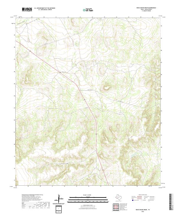
2022 Map of Rock House Draw
USGS Topo · Published 2022About this map
Rock House Draw and Independence Creek define the complex drainage patterns of this high-altitude Pecos County landscape. The terrain is characterized by a dense network of intermittent watercourses, including Monument Draw and Nineteen Draw, which underscore the arid ranching environment of the region. Transportation across these limestone-capped plateaus is anchored by several named rural thoroughfares such as Puckett Rd and Marsh Lex Rd, providing access to remote agricultural holdings.
Find a feature on this map
8 named features on this map. Tap any name to fly to it.
Don’t see what you’re looking for? This feature index may not catch every label — zoom into the map to look around manually.
Map Details
Editions of this 2022 Rock House Draw Map
This is the sole edition of this map. No revisions or reprints were ever made.
Other maps of this area

1920 · Longfellow
USGS Topo · 1:125,000

1928 · Sanderson
USGS Topo · 1:125,000

1928 · Comanche Spring
USGS Topo · 1:125,000

1929 · Independence Draw Quadrangle
USGS Topo · 1:125,000

1954 · Fort Stockton
USGS Topo · 1:250,000

1958 · Fort Stockton
USGS Topo · 1:250,000

1968 · Busher Canyon
USGS Topo · 1:24,000

1968 · Ebers Camp
USGS Topo · 1:24,000

1969 · Big Canyon Ranch NW
USGS Topo · 1:24,000

1969 · Hackberry Draw NW
USGS Topo · 1:24,000