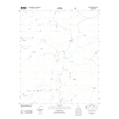
2011 Map of Rock House
USGS Topo · Published 2011About this map
Rock House sits at the center of this high-desert landscape in Gila County, defined by a network of seasonal drainages and livestock infrastructure. The terrain is marked by prominent landforms such as Gunsight Butte, Castle Peak, and the Double Buttes, which provided essential navigation points for early travel through this arid region. Water management is the primary human footprint here, evidenced by numerous named improvements like Middle Pasture Tank, Duett Branch Tank, and the Horse Camp Windmill. These features indicate the area's long-standing use for cattle ranching, with Horse Camp and Horse Camp Mesa serving as focal points for movement in the southwest corner. The presence of Asbestos Spring and Asbestos Tank hints at the mineral history of the Salt River watershed, while the complex canyons of Rock House Creek and Campbell Creek dictate the layout of primitive roads such as FR 127.
Find a feature on this map
51 named features on this map. Tap any name to fly to it.
Don’t see what you’re looking for? This feature index may not catch every label — zoom into the map to look around manually.
Map Details
Editions of this 2011 Rock House Map
This is the sole edition of this map. No revisions or reprints were ever made.
Other maps of this area

1886 · Holbrook
USGS Topo · 1:250,000

1893 · Holbrook
USGS Topo · 1:250,000

1922 · Chrysotile
USGS Topo · 1:125,000

1946 · Blue House Mtn
USGS Topo · 1:62,500

1949 · McFadden Peak
USGS Topo · 1:62,500

1950 · McFadden Peak
USGS Topo · 1:62,500

1951 · Blue House Mtn
USGS Topo · 1:62,500

1954 · Holbrook
USGS Topo · 1:250,000

1954 · Mesa
USGS Topo · 1:250,000

1957 · Mesa
USGS Topo · 1:250,000