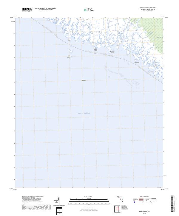
2025 Map of Rock Islands
USGS Topo · Published 2025About this map
Gulf of America waters dominate this coastal Taylor County landscape where the Fenholloway River and Henderson River meet the salt marsh. The shoreline is defined by a complex network of tidal inlets including Cut Off Creek and Pitts Creek, punctuated by several small islands and geological features like Rock Island and Bird Rock. The area is largely undeveloped, focused on maritime navigation and low-impact recreation.
Find a feature on this map
16 named features on this map. Tap any name to fly to it.
Don’t see what you’re looking for? This feature index may not catch every label — zoom into the map to look around manually.
Map Details
Editions of this 2025 Rock Islands Map
This is the sole edition of this map. No revisions or reprints were ever made.
Other maps of this area

1954 · Hampton Springs
USGS Topo · 1:24,000

1954 · Okefenokee Slough
USGS Topo · 1:24,000

1954 · Gainesville
USGS Topo · 1:250,000

1954 · Valdosta
USGS Topo · 1:250,000

1955 · Snipe Island
USGS Topo · 1:24,000

1955 · Rock Islands
USGS Topo · 1:24,000

1955 · Manlin Hammock
USGS Topo · 1:24,000
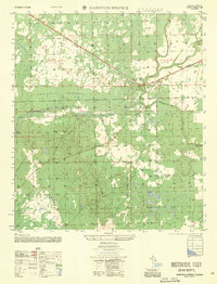
1956 · Hampton Springs
USGS Topo · 1:25,000

1958 · Valdosta
USGS Topo · 1:250,000

1958 · Gainesville
USGS Topo · 1:250,000