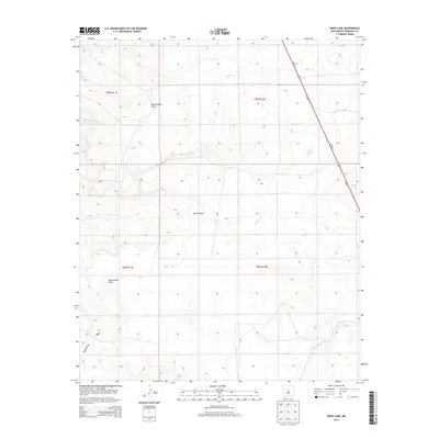
2013 Map of Rock Lake
USGS Topo · Published 2013About this map
Rattlesnake Draw and Red Canyon define the drainage patterns of this high-altitude landscape in central New Mexico. The terrain is characterized by broad basins and seasonal water bodies, including the eponymous Rock Lake and the smaller Texas Lake located near the eastern edge. These features are situated within a high-plains environment where the topography is shaped by significant elevation changes, as indicated by the proximity of McGillivray Draw in the southern portion of the survey. The movement of travelers and commerce through this region is facilitated by the corridor of Us-285 N and Us-285 S, which bisects the eastern townships. This 2013 survey provides a detailed view of the Public Land Survey System divisions, including t9n r11e and t8n r12e, illustrating the intersection of modern transportation routes with historic land management boundaries.
Find a feature on this map
11 named features on this map. Tap any name to fly to it.
Don’t see what you’re looking for? This feature index may not catch every label — zoom into the map to look around manually.
Map Details
Editions of this 2013 Rock Lake Map
This is the sole edition of this map. No revisions or reprints were ever made.
Other maps of this area

1894 · Lamy
USGS Topo · 1:125,000

1954 · Santa Fe
USGS Topo · 1:250,000

1954 · Fort Sumner
USGS Topo · 1:250,000

1958 · Fort Sumner
USGS Topo · 1:250,000

1958 · Santa Fe
USGS Topo · 1:250,000

1960 · Lobo Hill
USGS Topo · 1:62,500

1960 · Stanley
USGS Topo · 1:62,500
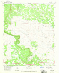
1966 · El Cabo
USGS Topo · 1:24,000
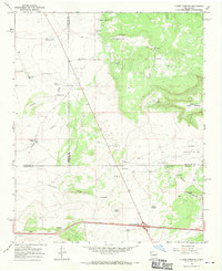
1966 · Clines Corners
USGS Topo · 1:24,000
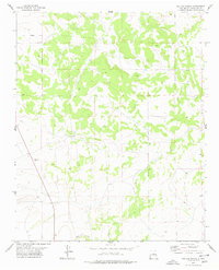
1978 · Waller Ranch
USGS Topo · 1:24,000