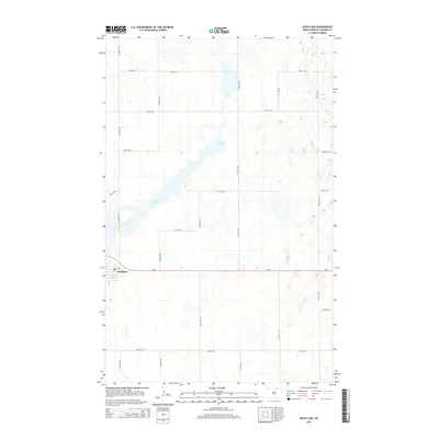
2014 Map of Rock Lake
USGS Topo · Published 2014About this map
Rock Lake dominates this northern prairie landscape, stretching diagonally through a region defined by glacial depressions and wetlands. In the southwest corner, the town of Rocklake sits as the primary hub of human activity, situated along the east-west corridor of Nd-5. The settlement's layout is centered on Main St, while the surrounding Towner County countryside is organized by a precise grid of rural routes like 68th Ave NE and 98th St NE. This survey shows the agricultural character of the area, where the road network carefully navigates around the numerous unnamed sloughs and potholes typical of the North Dakota pothole region, connecting isolated farmsteads to the central grain-handling community.
Find a feature on this map
20 named features on this map. Tap any name to fly to it.
Don’t see what you’re looking for? This feature index may not catch every label — zoom into the map to look around manually.
Map Details
Editions of this 2014 Rock Lake Map
This is the sole edition of this map. No revisions or reprints were ever made.
Other maps of this area

1953 · Devils Lake
USGS Topo · 1:250,000

1956 · Devils Lake
USGS Topo · 1:250,000

1962 · Egeland
USGS Topo · 1:24,000

1962 · Snyder Lake
USGS Topo · 1:24,000
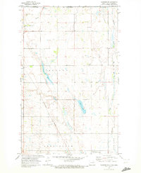
1969 · Hansboro NE
USGS Topo · 1:24,000

1969 · Rock Lake NE
USGS Topo · 1:24,000
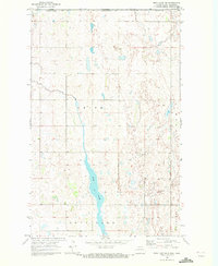
1969 · Rock Lake NW
USGS Topo · 1:24,000

1970 · Hansboro SE
USGS Topo · 1:24,000

1970 · Rock Lake
USGS Topo · 1:24,000

1970 · Rock Lake SE
USGS Topo · 1:24,000