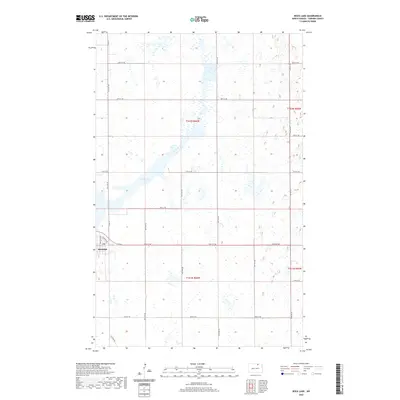
2020 Map of Rock Lake
USGS Topo · Published 2020About this map
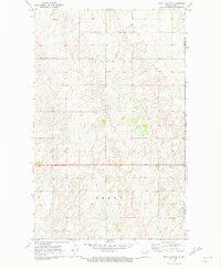
Rock Lake and its eponymous settlement anchor this survey of Towner County, where the township boundaries of t162n r66w, t162n r65w, t161n r66w, and t161n r65w intersect. The small community of Rock Lake is concentrated in the southwest, featuring a grid defined by Main St and Eller Ave, with a Po serving as a central local landmark. The landscape is dominated by a dense network of sectional roads, such as 67th Ave NE and 95th St NE, which segment the prairie into the traditional agricultural blocks characteristic of North Dakota. The proximity of Elevator Rd to the town center suggests the ongoing importance of grain transport and storage within this rural economy, while the irregular shoreline of the lake itself provides a stark natural contrast to the rigid geometry of the surrounding farmland.
Find a feature on this map
25 named features on this map. Tap any name to fly to it.
Don’t see what you’re looking for? This feature index may not catch every label — zoom into the map to look around manually.
Map Details
Editions of this 2020 Rock Lake Map
This is the sole edition of this map. No revisions or reprints were ever made.
Other maps of this area

1953 · Devils Lake
USGS Topo · 1:250,000

1956 · Devils Lake
USGS Topo · 1:250,000
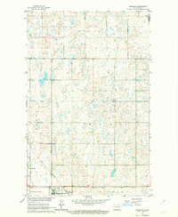
1962 · Egeland
USGS Topo · 1:24,000
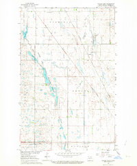
1962 · Snyder Lake
USGS Topo · 1:24,000
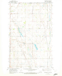
1969 · Hansboro NE
USGS Topo · 1:24,000
1969 · Rock Lake NE
USGS Topo · 1:24,000
1969 · Rock Lake NW
USGS Topo · 1:24,000
1970 · Hansboro SE
USGS Topo · 1:24,000
1970 · Rock Lake
USGS Topo · 1:24,000
1970 · Rock Lake SE
USGS Topo · 1:24,000