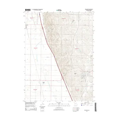
2014 Map of Rock Port
USGS Topo · Published 2014About this map
Rock Port serves as the focal point of this Atchison County landscape, situated where the loess hills of Brickyard Hill meet the wide Missouri River floodplain. The drainage patterns are dominated by the Old Channel Nishnabotna River, a remnant waterway that meanders west of the modern interstate corridor. This 2014 survey reveals a transition from the elevated terrain of the Missouri bluffs to the flat bottomlands near Phelps City and Watson.
Find a feature on this map
39 named features on this map. Tap any name to fly to it.
Don’t see what you’re looking for? This feature index may not catch every label — zoom into the map to look around manually.
Map Details
Editions of this 2014 Rock Port Map
This is the sole edition of this map. No revisions or reprints were ever made.
Other maps of this area

1915 · Nemaha
USGS Topo · 1:62,500

1936 · Fairfax
USGS Topo · 1:24,000

1939 · Tarkio
USGS Topo · 1:62,500

1939 · Farragut
USGS Topo · 1:62,500

1939 · Hamburg
USGS Topo · 1:62,500

1939 · Nemaha
USGS Topo · 1:62,500

1940 · Tarkio
USGS Topo · 1:62,500

1940 · Farragut
USGS Topo · 1:62,500

1941 · Tarkio
USGS Topo · 1:62,500

1941 · Hamburg
USGS Topo · 1:62,500