
1967 Map of Rock Roll Canyon
USGS Topo · Published 1971About this map
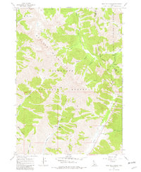
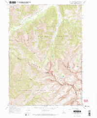
The Boulder Mountains dominate this high-elevation interior where the Sawtooth National Forest meets the Challis National Forest at the Blaine and Custer County line. This 1967 field-checked survey documents a landscape defined by sharp drainage divides and alpine basins, with the Big Wood River and its East Fork North Fork feeding the headwaters in the northwestern corner. Evidence of early land use is found in scattered Prospects and a Mine near the center of the sheet, while the presence of Sawmill Gulch and Taylor Canyon suggests historical timber or livestock activity. The topographic detail captures the steep transition from the narrow floor of Rock Roll Canyon up to the high peaks, providing a precise record of the trail networks that connected these remote basins before more modern infrastructure arrived.
Find a feature on this map
31 named features on this map. Tap any name to fly to it.
Don’t see what you’re looking for? This feature index may not catch every label — zoom into the map to look around manually.
Map Details
Editions of this 1967 Rock Roll Canyon Map
2 editions found
Other maps of this area

1895 · Hailey
USGS Topo · 1:125,000

1897 · Hailey
USGS Topo · 1:125,000

1955 · Hailey
USGS Topo · 1:250,000

1959 · Hailey
USGS Topo · 1:250,000

1962 · Hailey
USGS Topo · 1:250,000
1967 · Meridian Peak
USGS Topo · 1:24,000
1967 · Herd Peak
USGS Topo · 1:24,000

1967 · Sun Valley
USGS Topo · 1:24,000
1967 · Hyndman Peak
USGS Topo · 1:24,000
1967 · Phi Kappa Mtn
USGS Topo · 1:24,000