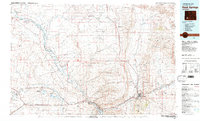
1981 Map of Rock Springs
USGS Topo · Published 1981About this map
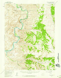
The Union Pacific railroad corridor anchors this high-desert landscape in the early 1980s, connecting industrial and residential hubs like Rock Springs and Green River. The map captures a complex industrial geography where deep-shaft mining, represented by Westvaco Shaft No 1, coexists with historic transportation routes. These modern arteries trace the same path as the Emigrant Trail and Overland Trail, which wind through the Little Colorado Desert toward the Continental Divide.
Find a feature on this map
81 named features on this map. Tap any name to fly to it.
Don’t see what you’re looking for? This feature index may not catch every label — zoom into the map to look around manually.
Map Details
Editions of this 1981 Rock Springs Map
This is the sole edition of this map. No revisions or reprints were ever made.
Other maps of this area
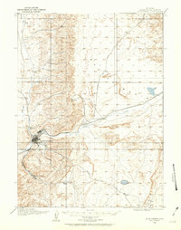
1908 · Rock Springs
USGS Topo · 1:62,500
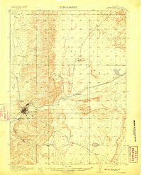
1910 · Rock Springs
USGS Topo · 1:62,500

1954 · Ogden
USGS Topo · 1:250,000

1954 · Rock Springs
USGS Topo · 1:250,000

1955 · Preston
USGS Topo · 1:250,000

1955 · Lander
USGS Topo · 1:250,000
1957 · Mc Kinnon Junction
USGS Topo · 1:62,500
1957 · Firehole Basin
USGS Topo · 1:62,500

1958 · Lander
USGS Topo · 1:250,000

1958 · Ogden
USGS Topo · 1:250,000