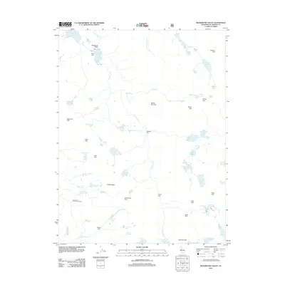
2012 Map of Rockbound Valley
USGS Topo · Published 2012About this map
The Rubicon River carves through this high-altitude landscape of El Dorado County, defined by a network of glacial lakes and several small seasonal flats. Long-standing local landmarks like Onion Flat, Camper Flat, and China Flat dot the terrain, while the University of California Cow Camp indicates a legacy of land use within the Rockbound Valley. This environment is characterized by significant granite peaks and passes, including Rockbound Pass and Mosquito Pass, which provide access through the Crystal Range. Water management is evident near the northern border at the Rubicon Reservoir, which collects runoff from the surrounding basins. Hikers and researchers can trace various routes between named alpine waters such as Lake Lois, Dicks Lake, and the Leland Lakes.
Find a feature on this map
67 named features on this map. Tap any name to fly to it.
Don’t see what you’re looking for? This feature index may not catch every label — zoom into the map to look around manually.
Map Details
Editions of this 2012 Rockbound Valley Map
This is the sole edition of this map. No revisions or reprints were ever made.
Other maps of this area

1889 · Pyramid Peak
USGS Topo · 1:125,000

1891 · Truckee
USGS Topo · 1:125,000

1891 · Pyramid Peak
USGS Topo · 1:125,000

1893 · Truckee
USGS Topo · 1:125,000

1895 · Pyramid Peak
USGS Topo · 1:125,000

1895 · Truckee
USGS Topo · 1:125,000

1896 · Pyramid Peak
USGS Topo · 1:125,000

1932 · Truckee
USGS Topo · 1:96,000

1940 · Truckee
USGS Topo · 1:125,000

1947 · Sacramento
USGS Topo · 1:250,000