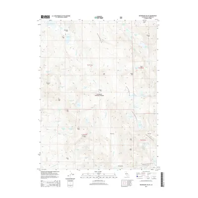
2015 Map of Rockbound Valley
USGS Topo · Published 2015About this map
Eldorado National Forest defines this high-elevation landscape in El Dorado County, where the headwaters of the Rubicon River carve through the Rockbound Valley. The terrain is characterized by a dense concentration of alpine water bodies, including Rockbound Lake, Lake Schmidell, and the Rubicon Reservoir, which serves as a significant hydrologic feature in the northwest. Several small, named flats such as Onion Flat, Camper Flat, and China Flat suggest areas of slightly more level ground amidst a series of prominent summits including Rubicon Peak, Phipps Peak, and the jagged Crystal Range. Navigation through these peaks is facilitated by established routes like Rockbound Pass and Dicks Pass, while the Pacific Crest National Scenic Trail winds north-to-south, connecting the lakes and passes. This map provides a clear record of the area's wilderness character and the network of glacial lakes that define the region's geography.
Find a feature on this map
74 named features on this map. Tap any name to fly to it.
Don’t see what you’re looking for? This feature index may not catch every label — zoom into the map to look around manually.
Map Details
Editions of this 2015 Rockbound Valley Map
This is the sole edition of this map. No revisions or reprints were ever made.
Other maps of this area

1889 · Pyramid Peak
USGS Topo · 1:125,000

1891 · Truckee
USGS Topo · 1:125,000

1891 · Pyramid Peak
USGS Topo · 1:125,000

1893 · Truckee
USGS Topo · 1:125,000

1895 · Pyramid Peak
USGS Topo · 1:125,000

1895 · Truckee
USGS Topo · 1:125,000

1896 · Pyramid Peak
USGS Topo · 1:125,000

1932 · Truckee
USGS Topo · 1:96,000

1940 · Truckee
USGS Topo · 1:125,000

1947 · Sacramento
USGS Topo · 1:250,000