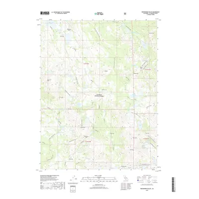
2018 Map of Rockbound Valley
USGS Topo · Published 2018About this map
The Rubicon River carves through the heart of the Eldorado National Forest in this high-altitude landscape of the Crystal Range. The topography is defined by a dense concentration of glacial basins, ranging from the large Rockbound Lake and Lake Schmidell to the smaller high-elevation tarns of the Leland Lakes and Four-Q Lakes. This region represents a significant corridor for wilderness travel, as evidenced by the convergence of major routes like the Pacific Crest National Scenic Trail and the Tahoe Yosemite Trail.
Find a feature on this map
79 named features on this map. Tap any name to fly to it.
Don’t see what you’re looking for? This feature index may not catch every label — zoom into the map to look around manually.
Map Details
Editions of this 2018 Rockbound Valley Map
This is the sole edition of this map. No revisions or reprints were ever made.
Other maps of this area

1889 · Pyramid Peak
USGS Topo · 1:125,000

1891 · Truckee
USGS Topo · 1:125,000

1891 · Pyramid Peak
USGS Topo · 1:125,000

1893 · Truckee
USGS Topo · 1:125,000

1895 · Pyramid Peak
USGS Topo · 1:125,000

1895 · Truckee
USGS Topo · 1:125,000

1896 · Pyramid Peak
USGS Topo · 1:125,000

1932 · Truckee
USGS Topo · 1:96,000

1940 · Truckee
USGS Topo · 1:125,000

1947 · Sacramento
USGS Topo · 1:250,000