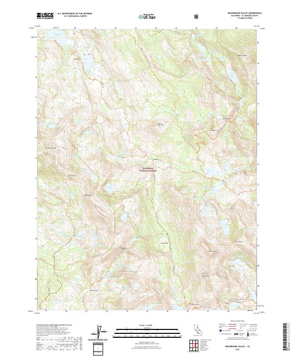
2021 Map of Rockbound Valley
USGS Topo · Published 2021About this map
Eldorado National Forest defines this high-elevation landscape, where the headwaters of the Rubicon River carve through the Rockbound Valley. The area is characterized by a dense concentration of glacial lakes and granite peaks, including Dicks Peak, McConnell Peak, and the prominent Crystal Range. Historically significant backcountry routes like the Tahoe Yosemite Trl and the Pacific Crest National Scenic Trl intersect here, providing a window into the long-standing foot and stock travel patterns of the Sierra Nevada. Several flats, such as Onion Flat and China Flat, suggest established camping or staging points along these primitive corridors. This 2021 update preserves the nomenclature of numerous numbered and family-named water bodies, from Lake Number Five to Lake Schmidell, illustrating the intricate hydrologic mapping of the high country.
Find a feature on this map
82 named features on this map. Tap any name to fly to it.
Don’t see what you’re looking for? This feature index may not catch every label — zoom into the map to look around manually.
Map Details
Editions of this 2021 Rockbound Valley Map
This is the sole edition of this map. No revisions or reprints were ever made.
Other maps of this area

1889 · Pyramid Peak
USGS Topo · 1:125,000

1891 · Truckee
USGS Topo · 1:125,000

1891 · Pyramid Peak
USGS Topo · 1:125,000

1893 · Truckee
USGS Topo · 1:125,000

1895 · Pyramid Peak
USGS Topo · 1:125,000

1895 · Truckee
USGS Topo · 1:125,000

1896 · Pyramid Peak
USGS Topo · 1:125,000

1932 · Truckee
USGS Topo · 1:96,000

1940 · Truckee
USGS Topo · 1:125,000

1947 · Sacramento
USGS Topo · 1:250,000