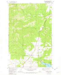
1981 Map of Rockford Bay
USGS Topo · Published 1982About this map
Mica Peak and the high ridges of Twin Peaks dominate this 1980s-era landscape, where the northern Idaho mountains meet the western shores of Lake Coeur d'Alene. The terrain is defined by the steep drainages of Mica Creek and its forks, which flow eastward toward the lake's prominent Rockford Bay inlet. At the southern end of the sheet, the Coeur d'Alene Indian Reservation Boundary cuts across the drainage of Fighting Creek, marking a significant land-use transition in the Kootenai County backcountry.
Find a feature on this map
32 named features on this map. Tap any name to fly to it.
Don’t see what you’re looking for? This feature index may not catch every label — zoom into the map to look around manually.
Map Details
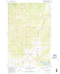
Editions of this 1981 Rockford Bay Map
2 editions found
Other maps of this area

1901 · Spokane
USGS Topo · 1:125,000

1903 · Oakesdale
USGS Topo · 1:125,000

1903 · Rathdrum
USGS Topo · 1:125,000

1905 · Oakesdale
USGS Topo · 1:125,000

1949 · Greenacres
USGS Topo · 1:62,500

1951 · Greenacres
USGS Topo · 1:62,500

1954 · Fairfield
USGS Topo · 1:62,500

1955 · Spokane
USGS Topo · 1:250,000

1957 · Plummer
USGS Topo · 1:62,500

1957 · Coeur D'Alene
USGS Topo · 1:62,500