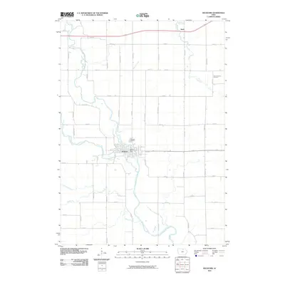
2010 Map of Rockford
USGS Topo · Published 2010About this map
Rockford sits at the significant confluence where the Winnebago River joins the Shell Rock River, anchoring a landscape defined by its riparian corridors and grid of rural roads. This 2010 survey by the U.S. Geological Survey illustrates the enduring agricultural and civic structure of Floyd County, Iowa. The town center of Rockford is clearly delineated, featuring the Rockford Post Office and the riverside grounds of Riverside Cemetery.
Find a feature on this map
38 named features on this map. Tap any name to fly to it.
Don’t see what you’re looking for? This feature index may not catch every label — zoom into the map to look around manually.
Map Details
Editions of this 2010 Rockford Map
This is the sole edition of this map. No revisions or reprints were ever made.
Other maps of this area

1954 · Mason City
USGS Topo · 1:250,000

1954 · Waterloo
USGS Topo · 1:250,000

1955 · Waterloo
USGS Topo · 1:250,000

1957 · Mason City
USGS Topo · 1:250,000

1958 · Mason City
USGS Topo · 1:250,000

1959 · Mason City
USGS Topo · 1:62,500

1959 · Nora Springs
USGS Topo · 1:24,000

1959 · Mason City SE
USGS Topo · 1:24,000

1971 · Rockford
USGS Topo · 1:24,000

1971 · Orchard
USGS Topo · 1:24,000