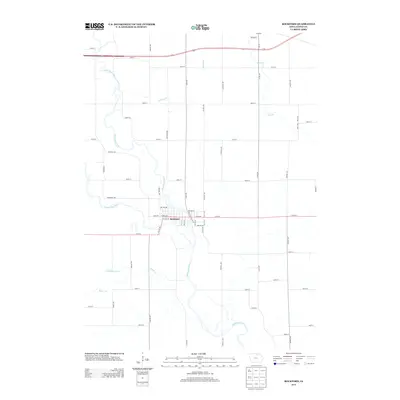
2013 Map of Rockford
USGS Topo · Published 2013About this map
Rockford serves as the central hub of this northern Iowa landscape, situated at a strategic hydrologic point where several major waterways converge. The town is oriented around the Shell Rock River, which snakes through the township alongside the Winnebago River. This 2013 survey illustrates the modern grid of Floyd County, where traditional rural routes like Red Ball Rd and Winnebago Rd intersect with a dense network of section-line roads such as Dancer Ave and Echo Ave. The surrounding drainage basin is clearly defined by numerous tributaries, including Whiskey Cr, Flood Cr, and the branching Beaver Cr system. The map provides a precise record of the residential and commercial layout of the town center, showing the development along Main Ave and W Main Ave just before the rivers bifurcate into the agricultural hinterland.
Find a feature on this map
57 named features on this map. Tap any name to fly to it.
Don’t see what you’re looking for? This feature index may not catch every label — zoom into the map to look around manually.
Map Details
Editions of this 2013 Rockford Map
This is the sole edition of this map. No revisions or reprints were ever made.
Other maps of this area

1954 · Mason City
USGS Topo · 1:250,000

1954 · Waterloo
USGS Topo · 1:250,000

1955 · Waterloo
USGS Topo · 1:250,000

1957 · Mason City
USGS Topo · 1:250,000

1958 · Mason City
USGS Topo · 1:250,000

1959 · Mason City
USGS Topo · 1:62,500

1959 · Nora Springs
USGS Topo · 1:24,000

1959 · Mason City SE
USGS Topo · 1:24,000

1971 · Rockford
USGS Topo · 1:24,000

1971 · Orchard
USGS Topo · 1:24,000