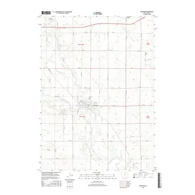
2015 Map of Rockford
USGS Topo · Published 2015About this map
The confluence of the Winnebago River and the Shell Rock River defines the central topography of this Floyd County landscape, centered on the city of Rockford. This area reflects the organized grid of the Public Land Survey System, with township lines like t95n r18w and t96n r18w delineating the agricultural territory. Genealogists will find several key burial grounds documented, including Riverside Cem near the river and the Rock Grove Township Cem and Rudd Township Cem in the northern reaches of the quadrangle.
Find a feature on this map
51 named features on this map. Tap any name to fly to it.
Don’t see what you’re looking for? This feature index may not catch every label — zoom into the map to look around manually.
Map Details
Editions of this 2015 Rockford Map
This is the sole edition of this map. No revisions or reprints were ever made.
Other maps of this area

1954 · Mason City
USGS Topo · 1:250,000

1954 · Waterloo
USGS Topo · 1:250,000

1955 · Waterloo
USGS Topo · 1:250,000

1957 · Mason City
USGS Topo · 1:250,000

1958 · Mason City
USGS Topo · 1:250,000

1959 · Mason City
USGS Topo · 1:62,500

1959 · Nora Springs
USGS Topo · 1:24,000

1959 · Mason City SE
USGS Topo · 1:24,000

1971 · Rockford
USGS Topo · 1:24,000

1971 · Orchard
USGS Topo · 1:24,000