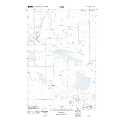
2010 Map of Rockford
USGS Topo · Published 2010About this map
The Crow River flows through the town of Rockford, a central point in this landscape of glacial lakes and small rural communities. The map depicts a transition between agricultural land and growing settlements, with numerous family and community landmarks such as Elmwood Cemetery and the Rockford Post Office. To the south, Lake Independence and Lake Sarah dominate the topography, surrounded by a network of local routes like County Hwy-19 and Pioneer Trl.
Find a feature on this map
89 named features on this map. Tap any name to fly to it.
Don’t see what you’re looking for? This feature index may not catch every label — zoom into the map to look around manually.
Map Details
Editions of this 2010 Rockford Map
This is the sole edition of this map. No revisions or reprints were ever made.
Other maps of this area

1905 · Minnetonka
USGS Topo · 1:62,500

1907 · Minnetonka
USGS Topo · 1:62,500

1909 · Rockford
USGS Topo · 1:62,500

1953 · Saint Paul
USGS Topo · 1:250,000

1953 · Stillwater
USGS Topo · 1:250,000

1955 · Stillwater
USGS Topo · 1:250,000

1957 · Waconia
USGS Topo · 1:62,500

1958 · Stillwater
USGS Topo · 1:250,000

1958 · Rockford
USGS Topo · 1:62,500

1958 · Mound
USGS Topo · 1:24,000