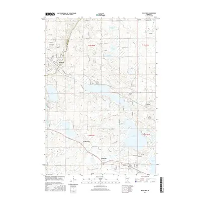
2016 Map of Rockford
USGS Topo · Published 2016About this map
The Crow River winds along the western border of this Hennepin and Wright County landscape, anchoring the settlement of Rockford. This 2016 survey illustrates a region defined by its numerous glacial basins, ranging from the expansive Lake Sarah and Lake Independence to smaller named waters like Hafften Lake and Schwappauff Lake. The map details the suburban and rural character of the area, noting the distinct clusters of Greenfield, Independence, and Maple Plain.
Find a feature on this map
150 named features on this map. Tap any name to fly to it.
Don’t see what you’re looking for? This feature index may not catch every label — zoom into the map to look around manually.
Map Details
Editions of this 2016 Rockford Map
This is the sole edition of this map. No revisions or reprints were ever made.
Other maps of this area

1905 · Minnetonka
USGS Topo · 1:62,500

1907 · Minnetonka
USGS Topo · 1:62,500

1909 · Rockford
USGS Topo · 1:62,500

1953 · Saint Paul
USGS Topo · 1:250,000

1953 · Stillwater
USGS Topo · 1:250,000

1955 · Stillwater
USGS Topo · 1:250,000

1957 · Waconia
USGS Topo · 1:62,500

1958 · Stillwater
USGS Topo · 1:250,000

1958 · Rockford
USGS Topo · 1:62,500

1958 · Mound
USGS Topo · 1:24,000