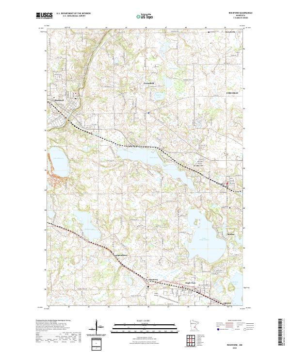
2022 Map of Rockford
USGS Topo · Published 2022About this map
Lake Sarah and Lake Independence anchor this landscape, where the agricultural traditions of western Hennepin County and eastern Wright County meet increasing suburban development. The Crow River flows through the northwestern corner near the city of Rockford, while numerous smaller water bodies like Lake Rebecca and Robina Lake dot the glaciated terrain. This 2022 survey captures a transition in local transportation and land use, from the quiet airfields at Ingleside Airport and Maple Airport to the established residential patterns in Greenfield and Maple Plain. Historical continuity is preserved in the location of regional burial grounds, including Elmwood Cem and the Saints Peter and Paul Cem, which remain as markers of the area's pioneer heritage and the early parish communities of Loretto and Independence.
Find a feature on this map
146 named features on this map. Tap any name to fly to it.
Don’t see what you’re looking for? This feature index may not catch every label — zoom into the map to look around manually.
Map Details
Editions of this 2022 Rockford Map
This is the sole edition of this map. No revisions or reprints were ever made.
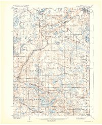
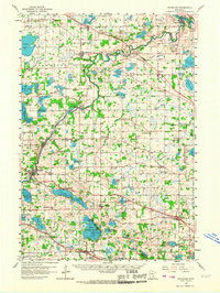
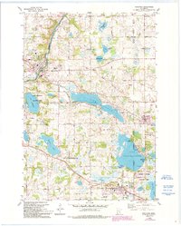
Historical Maps of Whispering Meadows Through Time
4 maps found