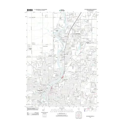
2012 Map of Rockford North
USGS Topo · Published 2012About this map
The Rock River carves through this northern Illinois corridor, anchoring the industrial and residential growth between Rockford and Machesney Park. Along its banks, distinctive landmarks like Turtle Mound and Montague Island appear alongside the urban core's historical infrastructure, including the Chicago, Milwaukee and Saint Paul Railroad Depot and the Rockford News Tower. The map reveals a dense concentration of civic and spiritual centers, from Rockford College to numerous memorial sites such as Greenwood Cemetery and the Scandinavian Cemetery. To the north, the transition from city to suburb is marked by leisure and transit hubs like the Rockford Speedway and Eicher Airport. The landscape is further defined by its many neighborhoods, including Sturbridge Village and Loves Park, and the smaller watercourses of Willow Creek and Keith Creek that feed into the main river valley.
Find a feature on this map
56 named features on this map. Tap any name to fly to it.
Don’t see what you’re looking for? This feature index may not catch every label — zoom into the map to look around manually.
Map Details
Editions of this 2012 Rockford North Map
This is the sole edition of this map. No revisions or reprints were ever made.
Other maps of this area

1917 · Kings
USGS Topo · 1:62,500

1918 · Rockford
USGS Topo · 1:62,500

1918 · Belvidere
USGS Topo · 1:62,500

1918 · Kings
USGS Topo · 1:62,500

1918 · Kirkland
USGS Topo · 1:62,500

1938 · Rockford
USGS Topo · 1:62,500

1944 · Belvidere
USGS Topo · 1:62,500

1949 · Camp Grant
USGS Topo · 1:24,000

1949 · Rockford
USGS Topo · 1:24,000

1954 · Rockford
USGS Topo · 1:250,000