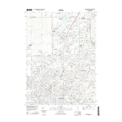
2015 Map of Rockford North
USGS Topo · Published 2015About this map
The Rock River serves as the central artery for this mid-2015 study, carving a path through the urban and suburban sprawl of northern Illinois. On the western bank, the ancient Turtle Mound stands as a significant landmark in the heart of Rockford, while numerous burial grounds like Greenwood Cem and Cedar Bluff Cem provide rich data for genealogical research. The map illustrates a densely settled landscape where residential developments such as Sturbridge Village and Nottingham Manor give way to industrial corridors along the Chicago and North Western rail lines.
Find a feature on this map
74 named features on this map. Tap any name to fly to it.
Don’t see what you’re looking for? This feature index may not catch every label — zoom into the map to look around manually.
Map Details
Editions of this 2015 Rockford North Map
This is the sole edition of this map. No revisions or reprints were ever made.
Other maps of this area

1917 · Kings
USGS Topo · 1:62,500

1918 · Rockford
USGS Topo · 1:62,500

1918 · Belvidere
USGS Topo · 1:62,500

1918 · Kings
USGS Topo · 1:62,500

1918 · Kirkland
USGS Topo · 1:62,500

1938 · Rockford
USGS Topo · 1:62,500

1944 · Belvidere
USGS Topo · 1:62,500

1949 · Camp Grant
USGS Topo · 1:24,000

1949 · Rockford
USGS Topo · 1:24,000

1954 · Rockford
USGS Topo · 1:250,000