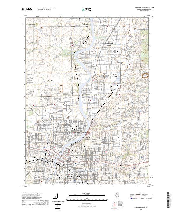
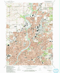
2024 Map of Rockford North
USGS Topo · Published 2024About this map
The Rock River serves as the central artery for this portion of Northern Illinois, carving a path through the urban and suburban landscapes of Rockford and Machesney Park. The map documents a densely developed river corridor where civic and educational institutions like the Winnebago County Courthouse, Rockford University, and Rockford Career College anchor the community. The cultural and genealogical history of the region is well-represented by a high concentration of burial grounds, including the Greenwood Cem, Rockford Hebrew Cem, and the specialized Scandinavian Cem.
Find a feature on this map
49 named features on this map. Tap any name to fly to it.
Don’t see what you’re looking for? This feature index may not catch every label — zoom into the map to look around manually.
Map Details
Editions of this 2024 Rockford North Map
This is the sole edition of this map. No revisions or reprints were ever made.
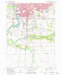
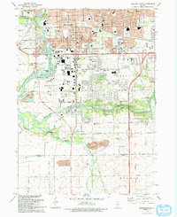
Historical Maps of Nottingham Manor Through Time
11 maps found
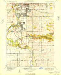
1949 Camp Grant
Winnebago County, IL
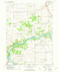
1971 Kishwaukee
Winnebago County, IL
1971 Rockford North
Winnebago County, IL
1971 Rockford South
Winnebago County, IL
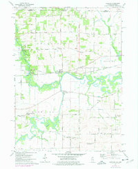
1971 Shirland
Winnebago County, IL
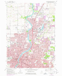
1993 Rockford North
Winnebago County, IL
1993 Rockford South
Winnebago County, IL
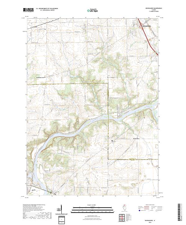
2024 Kishwaukee
Winnebago County, IL
2024 Rockford North
Winnebago County, IL
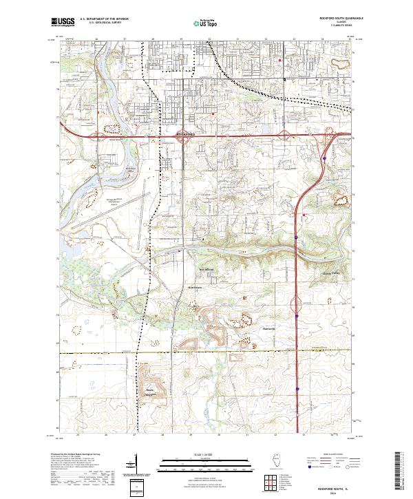
2024 Rockford South
Winnebago County, IL
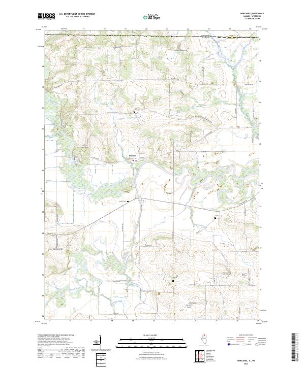
2024 Shirland
Winnebago County, IL
Featured Locations
- Loves Park, IL
- Rockford, Rockford Township
- Nottingham Manor, Owen Township
- Colonial Gardens, Owen Township
- Machesney Park, Harlem Township