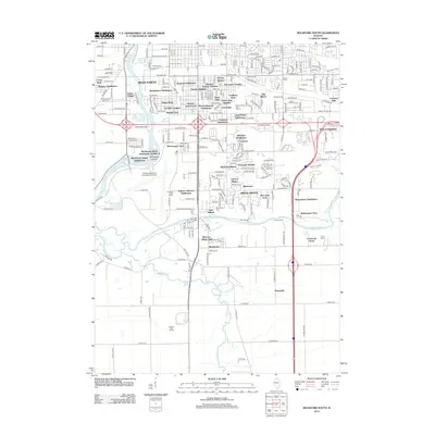
2012 Map of Rockford South
USGS Topo · Published 2012About this map
Rock River and Kishwaukee River converge in this urban and suburban landscape south of the city center. The map reveals an intricate network of residential developments and industrial zones, including the Chicago/Rockford International Airport which dominates the western sector. Numerous small subdivisions such as Victory Homes, Normandy Heights, and Indian Village illustrate the mid-to-late 20th-century expansion of the area.
Find a feature on this map
130 named features on this map. Tap any name to fly to it.
Don’t see what you’re looking for? This feature index may not catch every label — zoom into the map to look around manually.
Map Details
Editions of this 2012 Rockford South Map
This is the sole edition of this map. No revisions or reprints were ever made.
Other maps of this area

1917 · Kings
USGS Topo · 1:62,500

1918 · Rockford
USGS Topo · 1:62,500

1918 · Belvidere
USGS Topo · 1:62,500

1918 · Kings
USGS Topo · 1:62,500

1918 · Kirkland
USGS Topo · 1:62,500

1938 · Rockford
USGS Topo · 1:62,500

1944 · Belvidere
USGS Topo · 1:62,500

1949 · Camp Grant
USGS Topo · 1:24,000

1949 · Rockford
USGS Topo · 1:24,000

1954 · Rockford
USGS Topo · 1:250,000