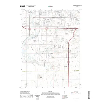
2021 Map of Rockford South
USGS Topo · Published 2021About this map
The Rock River corridor south of Rockford serves as a primary geographic anchor, where the confluence with the Kishwaukee River defines the surrounding landscape. This 2021 survey details the suburban and industrial expansion into areas like New Milford and Morristown, while maintaining clear records of older landmarks such as Union Cem. The presence of the Chicago/Rockford International Airport dominates the central river bend, illustrating the transition from river-dependent settlement to modern transportation hubs.
Find a feature on this map
214 named features on this map. Tap any name to fly to it.
Don’t see what you’re looking for? This feature index may not catch every label — zoom into the map to look around manually.
Map Details
Editions of this 2021 Rockford South Map
This is the sole edition of this map. No revisions or reprints were ever made.
Other maps of this area

1917 · Kings
USGS Topo · 1:62,500

1918 · Rockford
USGS Topo · 1:62,500

1918 · Belvidere
USGS Topo · 1:62,500

1918 · Kings
USGS Topo · 1:62,500

1918 · Kirkland
USGS Topo · 1:62,500

1938 · Rockford
USGS Topo · 1:62,500

1944 · Belvidere
USGS Topo · 1:62,500

1949 · Camp Grant
USGS Topo · 1:24,000

1949 · Rockford
USGS Topo · 1:24,000

1954 · Rockford
USGS Topo · 1:250,000