
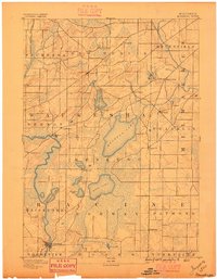
1955 Map of Rockford
USGS Topo · Published 1955About this map
The Rock River valley serves as the central artery for this mid-century portrait of northern Illinois and southern Wisconsin, connecting the industrial hubs of Rockford, Beloit, and Janesville. This 1955 edition reflects a landscape defined by its transition from the glacial topography of the Kettle Moraine and Lake Koshkonong to the fertile agricultural prairies and growing suburban reaches of Elgin and Arlington Heights.
Find a feature on this map
250 named features on this map. Tap any name to fly to it.
Don’t see what you’re looking for? This feature index may not catch every label — zoom into the map to look around manually.
Map Details
Editions of this 1955 Rockford Map
This is the sole edition of this map. No revisions or reprints were ever made.
Other maps of this area
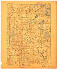
1889 · Evansville
USGS Topo · 1:62,500
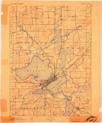
1890 · Madison
USGS Topo · 1:62,500
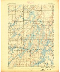
1890 · Sun Prairie
USGS Topo · 1:62,500
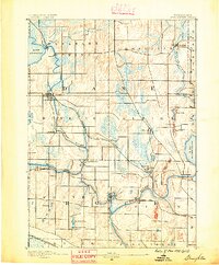
1890 · Stoughton
USGS Topo · 1:62,500
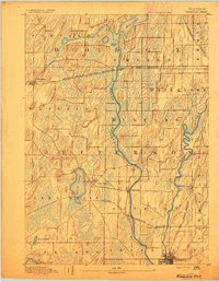
1891 · Waterloo
USGS Topo · 1:62,500
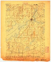
1891 · Koshkonong
USGS Topo · 1:62,500
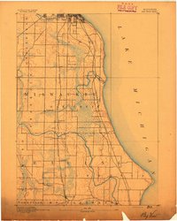
1891 · Bayview
USGS Topo · 1:62,500

1891 · Riverside
USGS Topo · 1:62,500
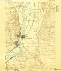
1891 · Clinton
USGS Topo · 1:62,500
1891 · Muskego
USGS Topo · 1:62,500