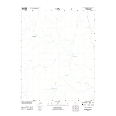
2012 Map of Rockhouse Basin
USGS Topo · Published 2012About this map
S Fork Kern River defines the central axis of this Tulare County landscape, carving through the high-elevation terrain of the Rockhouse Basin. This 2012 survey reveals a remote wilderness characterized by a network of drainage systems and isolated clearings. Notable meadows such as Lunch Meadow and Smith Meadow are situated in the northern reaches, while Rockhouse Meadow lies further south near the river's path. The hydrology is marked by several significant tributaries, including Tibbets Cr, Fish Cr, and Trout Cr, which feed the main river channel. These features suggest a landscape primarily utilized for seasonal grazing or backcountry navigation within the southern Sierra Nevada range. The map provides a precise record of these named landmarks and watercourses before contemporary changes in forest management or climate shifted the local environment.
Find a feature on this map
9 named features on this map. Tap any name to fly to it.
Don’t see what you’re looking for? This feature index may not catch every label — zoom into the map to look around manually.
Map Details
Editions of this 2012 Rockhouse Basin Map
This is the sole edition of this map. No revisions or reprints were ever made.
Other maps of this area

1905 · Olancha
USGS Topo · 1:125,000

1906 · Kernville
USGS Topo · 1:125,000

1907 · Olancha
USGS Topo · 1:125,000

1908 · Kernville
USGS Topo · 1:125,000

1948 · Bakersfield
USGS Topo · 1:250,000

1948 · Fresno
USGS Topo · 1:250,000

1955 · Bakersfield
USGS Topo · 1:250,000

1955 · Fresno
USGS Topo · 1:250,000

1956 · Bakersfield
USGS Topo · 1:250,000

1956 · Fresno
USGS Topo · 1:250,000