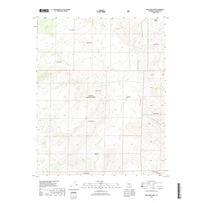
2018 Map of Rockhouse Basin
USGS Topo · Published 2018About this map
Rockhouse Basin and the surrounding Sierra Nevada highlands within Sequoia National Forest are defined by high-altitude meadows and a complex drainage system. The S Fork Kern River winds through the eastern portion of the map, fed by numerous tributaries including Fish Cr, Tibbets Cr, and Trout Cr. This 2018 survey captures the intricate topography of the Southern Sierra, where the Pacific Crest National Scenic Trail traverses the eastern ridges. The landscape is dotted with critical watering points and clearings like Lunch Meadow, Smith Meadow, and Rockhouse Meadow. Toward the northeast corner, Kennedy Meadows serves as a notable landmark for those navigating the high country. The map illustrates a wilderness area largely untouched by modern road infrastructure, emphasizing its character as a remote forest and recreation corridor.
Find a feature on this map
29 named features on this map. Tap any name to fly to it.
Don’t see what you’re looking for? This feature index may not catch every label — zoom into the map to look around manually.
Map Details
Editions of this 2018 Rockhouse Basin Map
This is the sole edition of this map. No revisions or reprints were ever made.
Other maps of this area

1905 · Olancha
USGS Topo · 1:125,000

1906 · Kernville
USGS Topo · 1:125,000

1907 · Olancha
USGS Topo · 1:125,000

1908 · Kernville
USGS Topo · 1:125,000

1948 · Bakersfield
USGS Topo · 1:250,000

1948 · Fresno
USGS Topo · 1:250,000

1955 · Bakersfield
USGS Topo · 1:250,000

1955 · Fresno
USGS Topo · 1:250,000

1956 · Bakersfield
USGS Topo · 1:250,000

1956 · Fresno
USGS Topo · 1:250,000