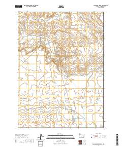
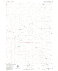
2020 Map of Rockhouse Reservoir
USGS Topo · Published 2020About this map
Rockhouse Reservoir and Blevins Reservoir serve as central water management points in this remote corner of Malheur County, where the high desert landscape is defined by its drainage systems. Seasonal waterways like Indian Fort Cr and Corbin Cr cut through the terrain, illustrating the critical importance of water resources in eastern Oregon. The inclusion of Hardin Spring and White Mule Flat suggests a landscape historically utilized for livestock grazing and ranching operations. Modern access is represented by Dry Creek Rd, which skirts the northwestern edge of the territory. This 2020 edition provides a precise look at the township and range boundaries that continue to organize this open country, including parts of T33S R42E and T32S R42E.
Find a feature on this map
13 named features on this map. Tap any name to fly to it.
Don’t see what you’re looking for? This feature index may not catch every label — zoom into the map to look around manually.
Map Details
Editions of this 2020 Rockhouse Reservoir Map
This is the sole edition of this map. No revisions or reprints were ever made.
Other maps of this area

1955 · Jordan Valley
USGS Topo · 1:250,000

1957 · Jordan Valley
USGS Topo · 1:250,000

1958 · Jordan Valley
USGS Topo · 1:250,000
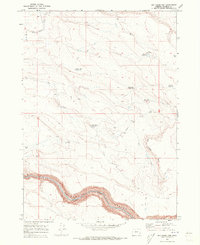
1969 · Dry Creek Rim
USGS Topo · 1:24,000

1972 · Rome
USGS Topo · 1:24,000
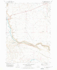
1972 · Scott Reservoir
USGS Topo · 1:24,000

1979 · Rockhouse Reservoir
USGS Topo · 1:24,000

1979 · Bowden Ranch
USGS Topo · 1:24,000
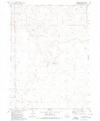
1979 · The Basin
USGS Topo · 1:24,000
1980 · Caviatta Ridge
USGS Topo · 1:24,000