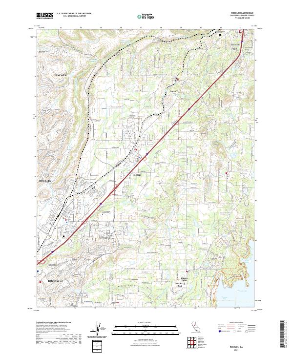
2021 Map of Rocklin
USGS Topo · Published 2021About this map
Loomis and Rocklin anchor this modern survey of the Sierra Nevada foothills, where the transition from suburban expansion to complex water management is clearly visible. The landscape is defined by an intricate network of irrigation and utility waterways, including the Boardman Canal, Baughman Canal, and Perry Canal, which reflect the region's long-standing reliance on managed water systems for both agriculture and local development. Near the southern edge, the terrain descends into Folsom Lake at Beeks Bight, while the northern reaches maintain a more rural character near Boulder Ridge.
Find a feature on this map
57 named features on this map. Tap any name to fly to it.
Don’t see what you’re looking for? This feature index may not catch every label — zoom into the map to look around manually.
Map Details
Editions of this 2021 Rocklin Map
This is the sole edition of this map. No revisions or reprints were ever made.
Other maps of this area

1891 · Sacramento
USGS Topo · 1:125,000

1892 · Sacramento
USGS Topo · 1:125,000

1893 · Sacramento
USGS Topo · 1:125,000

1902 · Fairoaks
USGS Topo · 1:62,500
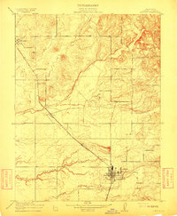
1910 · Lincoln
USGS Topo · 1:31,680

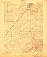
1910 · Roseville
USGS Topo · 1:31,680
1911 · Antelope
USGS Topo · 1:31,680
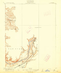
1914 · Folsom
USGS Topo · 1:31,680

1941 · Folsom
USGS Topo · 1:62,500

1942 · Markham Ravine
USGS Topo · 1:62,500