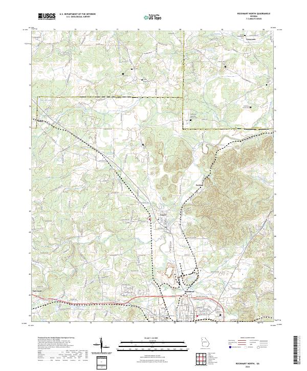
2024 Map of Rockmart North
USGS Topo · Published 2024About this map
The industrialized landscape of northwest Georgia is captured in detail, centered on the community of Rockmart and its northern neighbors. This area, crossing the boundary of Floyd and Polk counties, illustrates a settlement pattern shaped by the railroad and early manufacturing, particularly evident in the proximity of Aragon and Portland. The map is a significant resource for genealogists, documenting numerous family-named landmarks and local burial grounds including Dickerson Family Cem and Culver Chapel Cem.
Find a feature on this map
157 named features on this map. Tap any name to fly to it.
Don’t see what you’re looking for? This feature index may not catch every label — zoom into the map to look around manually.
Map Details
Editions of this 2024 Rockmart North Map
This is the sole edition of this map. No revisions or reprints were ever made.
Other maps of this area

1886 · Rome
USGS Topo · 1:125,000

1889 · Tallapoosa
USGS Topo · 1:125,000

1890 · Cartersville
USGS Topo · 1:125,000

1891 · Marietta
USGS Topo · 1:125,000

1891 · Cartersville
USGS Topo · 1:125,000

1892 · Tallapoosa
USGS Topo · 1:125,000

1895 · Marietta
USGS Topo · 1:125,000

1896 · Cartersville
USGS Topo · 1:125,000

1897 · Marietta
USGS Topo · 1:125,000

1897 · Tallapoosa
USGS Topo · 1:125,000