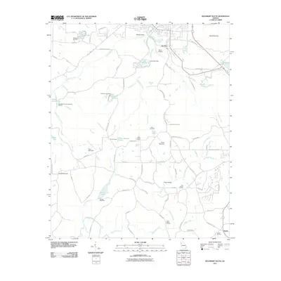
2011 Map of Rockmart South
USGS Topo · Published 2011About this map
Morgan Valley and the historic settlement of Van Wert anchor the northern landscape of this Polk County region, where the terrain begins its ascent toward Signal Mountain and Vinson Mountain. The map reveals a transition from these upland peaks down to the Tallapoosa River in the southwest, with the land etched by numerous waterways including Euharlee Creek and Thomasson Creek. This 2011 survey documents a mix of traditional agricultural land and modern recreational conversions, notably the Silver Comet Trl following an old railroad corridor.
Find a feature on this map
87 named features on this map. Tap any name to fly to it.
Don’t see what you’re looking for? This feature index may not catch every label — zoom into the map to look around manually.
Map Details
Editions of this 2011 Rockmart South Map
This is the sole edition of this map. No revisions or reprints were ever made.
Other maps of this area

1886 · Rome
USGS Topo · 1:125,000

1889 · Tallapoosa
USGS Topo · 1:125,000

1890 · Cartersville
USGS Topo · 1:125,000

1891 · Marietta
USGS Topo · 1:125,000

1891 · Cartersville
USGS Topo · 1:125,000

1892 · Tallapoosa
USGS Topo · 1:125,000

1895 · Marietta
USGS Topo · 1:125,000

1896 · Cartersville
USGS Topo · 1:125,000

1897 · Marietta
USGS Topo · 1:125,000

1897 · Tallapoosa
USGS Topo · 1:125,000