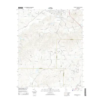
2014 Map of Rockmart South
USGS Topo · Published 2014About this map
Rockmart and the neighboring community of Van Wert anchor the northern reaches of this landscape, situated where the ridge-and-valley topography meets the southern Piedmont. The settlement pattern follows a network of rural routes like Morgan Valley Rd and Springdale Rd, connecting established clusters such as Morgan Valley and White Bottom. This era shows a complex mix of hydrography, from the winding Tallapoosa River in the south to numerous named reservoirs like Lake Dorene and Forsyth Lake, reflecting the region's managed water resources.
Find a feature on this map
146 named features on this map. Tap any name to fly to it.
Don’t see what you’re looking for? This feature index may not catch every label — zoom into the map to look around manually.
Map Details
Editions of this 2014 Rockmart South Map
This is the sole edition of this map. No revisions or reprints were ever made.
Other maps of this area

1886 · Rome
USGS Topo · 1:125,000

1889 · Tallapoosa
USGS Topo · 1:125,000

1890 · Cartersville
USGS Topo · 1:125,000

1891 · Marietta
USGS Topo · 1:125,000

1891 · Cartersville
USGS Topo · 1:125,000

1892 · Tallapoosa
USGS Topo · 1:125,000

1895 · Marietta
USGS Topo · 1:125,000

1896 · Cartersville
USGS Topo · 1:125,000

1897 · Marietta
USGS Topo · 1:125,000

1897 · Tallapoosa
USGS Topo · 1:125,000