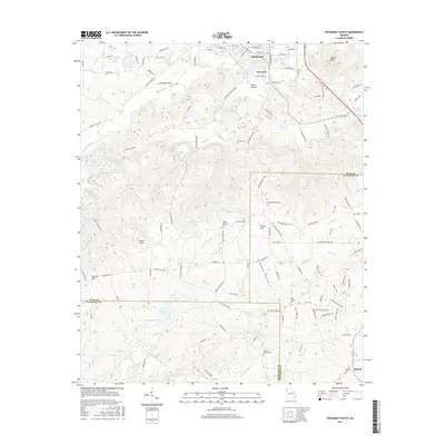
2017 Map of Rockmart South
USGS Topo · Published 2017About this map
Rockmart and the historic settlement of Van Wert anchor the northern landscape of this region where Polk, Paulding, and Haralson counties converge. The terrain is defined by prominent ridges like Signal Mtn and Paris Mtn, which overlook a network of creek valleys and small upland reservoirs. The southern portion of the map traces the headwaters of the Tallapoosa River as it winds through a patchwork of rural roads and woodland. Genealogists will find several notable burial sites including Beulah Cem, Holly Springs Cem, and the Ezell B Garner Cem, which serve as quiet markers of the area's long-established communities. This survey documents the modern layout of the Morgan Valley corridor and the surrounding hills before further suburban development from the Atlanta metropolitan area reached these quiet reaches of Northwest Georgia.
Find a feature on this map
121 named features on this map. Tap any name to fly to it.
Don’t see what you’re looking for? This feature index may not catch every label — zoom into the map to look around manually.
Map Details
Editions of this 2017 Rockmart South Map
This is the sole edition of this map. No revisions or reprints were ever made.
Other maps of this area

1886 · Rome
USGS Topo · 1:125,000

1889 · Tallapoosa
USGS Topo · 1:125,000

1890 · Cartersville
USGS Topo · 1:125,000

1891 · Marietta
USGS Topo · 1:125,000

1891 · Cartersville
USGS Topo · 1:125,000

1892 · Tallapoosa
USGS Topo · 1:125,000

1895 · Marietta
USGS Topo · 1:125,000

1896 · Cartersville
USGS Topo · 1:125,000

1897 · Marietta
USGS Topo · 1:125,000

1897 · Tallapoosa
USGS Topo · 1:125,000