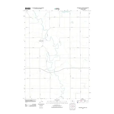
2012 Map of Rockport Colony
USGS Topo · Published 2012About this map
Rockport Colony stands as a primary landmark along the winding course of the James River in this section of Hanson County. The river forms the central geographic spine of the landscape, joined by tributaries such as Pierre Cr and Bloom Cr. The map reveals a strictly organized grid of agricultural section lines, including Turtle Rd and Co Rd-04, which provide access to the expansive rural tracts characteristic of the South Dakota plains. In the northeastern corner, Hanson Lake provides a localized water feature distinct from the river's meandering channel. This survey documents the modern layout of Beulah Township, showing the intersection of traditional water-based geography with the precise road network that facilitates the region's farming economy.
Find a feature on this map
21 named features on this map. Tap any name to fly to it.
Don’t see what you’re looking for? This feature index may not catch every label — zoom into the map to look around manually.
Map Details
Editions of this 2012 Rockport Colony Map
This is the sole edition of this map. No revisions or reprints were ever made.
Other maps of this area

1898 · Olivet
USGS Topo · 1:125,000

1899 · Alexandria
USGS Topo · 1:125,000

1955 · Sioux Falls
USGS Topo · 1:250,000

1957 · Alexandria
USGS Topo · 1:24,000

1957 · Ethan
USGS Topo · 1:24,000

1957 · Milltown
USGS Topo · 1:24,000

1957 · Clayton
USGS Topo · 1:24,000

1957 · Rockport Colony
USGS Topo · 1:24,000

1957 · Riverside
USGS Topo · 1:24,000

1958 · Sioux Falls
USGS Topo · 1:250,000
Featured Places
- Rockport Colony, SD
- Worthen Township, SD
- Rosedale Township, SD
- Wayne Township, SD
- Rockport Hutterite Colony, SD