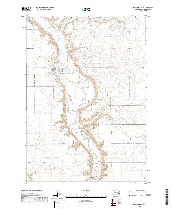
2021 Map of Rockport Colony
USGS Topo · Published 2021About this map
Rockport Colony serves as the central hub of this agrarian landscape in Hanson County, situated along the winding banks of the James River. The communal settlement is surrounded by an orderly grid of section lines and rural corridors like Turtle Rd, reflecting the long-standing land divisions of the Public Land Survey System. Genealogical interest is centered on the local burial sites, specifically Friedhof Cem and Rockport Colony Cem, which are located just north of the colony proper. The terrain is defined by the river’s meandering path and its tributaries, including Pierre Cr in the north and Bloom Cr further south, which carve through the prairie to create distinctive drainage patterns. This modern topographic study reveals a landscape where traditional communal living persists alongside contemporary agricultural infrastructure.
Find a feature on this map
26 named features on this map. Tap any name to fly to it.
Don’t see what you’re looking for? This feature index may not catch every label — zoom into the map to look around manually.
Map Details
Editions of this 2021 Rockport Colony Map
This is the sole edition of this map. No revisions or reprints were ever made.
Other maps of this area

1898 · Olivet
USGS Topo · 1:125,000

1899 · Alexandria
USGS Topo · 1:125,000

1955 · Sioux Falls
USGS Topo · 1:250,000

1957 · Alexandria
USGS Topo · 1:24,000

1957 · Ethan
USGS Topo · 1:24,000

1957 · Milltown
USGS Topo · 1:24,000

1957 · Clayton
USGS Topo · 1:24,000

1957 · Rockport Colony
USGS Topo · 1:24,000

1957 · Riverside
USGS Topo · 1:24,000

1958 · Sioux Falls
USGS Topo · 1:250,000
Featured Places
- Rockport Colony, SD
- Worthen Township, SD
- Rosedale Township, SD
- Wayne Township, SD
- Rockport Hutterite Colony, SD