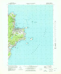
1973 Map of Rockport
USGS Topo · Published 1976About this map
Pigeon Cove and the village of Rockport anchor this coastal survey, which highlights the industrial and maritime character of northern Cape Ann in the early 1970s. The landscape is defined by its relationship with the sea and its granite history, evidenced by numerous Quarry sites and the Quarry Res near Yankee Hill. The rugged shoreline is heavily documented, from the narrow finger of Bearskin Neck protecting Rockport Harbor to the offshore beacons at Thacher Island, where the North Tower and Cape Ann Lighthouse guided mariners through Sandy Bay.
Find a feature on this map
79 named features on this map. Tap any name to fly to it.
Don’t see what you’re looking for? This feature index may not catch every label — zoom into the map to look around manually.
Map Details
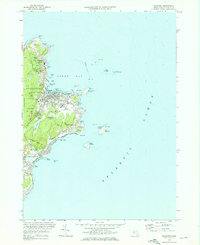
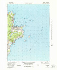
Editions of this 1973 Rockport Map
3 editions found
Other maps of this area

1886 · Gloucester
USGS Topo · 1:62,500

1888 · Gloucester
USGS Topo · 1:62,500

1893 · Gloucester
USGS Topo · 1:62,500

1918 · Gloucester
USGS Topo · 1:62,500

1943 · Cape Ann
USGS Topo · 1:125,000
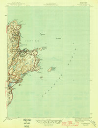
1945 · Rockport
USGS Topo · 1:31,680
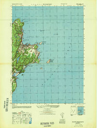
1947 · Rockport
USGS Topo · 1:25,000

1948 · Boston
USGS Topo · 1:250,000
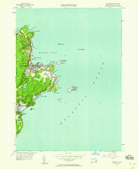
1949 · Rockport
USGS Topo · 1:24,000

1956 · Boston
USGS Topo · 1:250,000