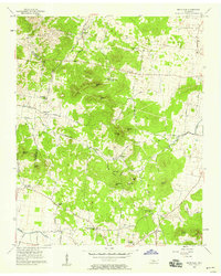
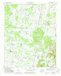
1957 Map of Rockvale
USGS Topo · Published 1958About this map
The Rutherford and Williamson county boundary line cuts through this mid-century landscape of knobs and hollows. Small agricultural settlements like Almaville and Rockvale serve as focal points for a rural community connected by a network of winding roads, including Opossum Trot Road and Versailles Road. The topography is defined by prominent elevations such as Scales Mtn and Indian Mtn, which overlook the headwaters of Stewart Creek and the meandering path of the Harpeth River in the southwest.
Find a feature on this map
47 named features on this map. Tap any name to fly to it.
Don’t see what you’re looking for? This feature index may not catch every label — zoom into the map to look around manually.
Map Details
Editions of this 1957 Rockvale Map
2 editions found
Other maps of this area

1916 · Murfreesboro
USGS Topo · 1:62,500

1936 · Chapel Hill
USGS Topo · 1:24,000

1936 · Rover
USGS Topo · 1:24,000

1936 · Fosterville
USGS Topo · 1:24,000

1942 · Lebanon
USGS Topo · 1:100,000

1944 · Shelbyville
USGS Topo · 1:100,000
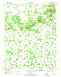
1949 · Rover
USGS Topo · 1:24,000
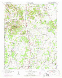
1949 · Chapel Hill
USGS Topo · 1:24,000
1949 · Fosterville
USGS Topo · 1:24,000

1950 · Walterhill
USGS Topo · 1:24,000