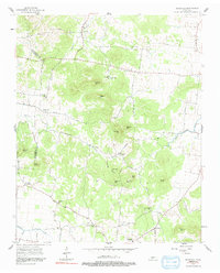
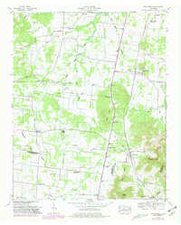
1957 Map of Rockvale
USGS Topo · Published 1991About this map
The hills and ridges of western Rutherford County are captured here just before the era of modern development, showing a landscape defined by small rural hubs and family-named terrain. Small community centers like Almaville and Rockvale serve as focal points for a network of winding roads, many following the natural contours of the Central Basin. The map identifies numerous social anchors, including Rockvale Sch and Lock Sch, alongside local spiritual centers such as Cedar Grove Ch and Rehobeth Ch.
Find a feature on this map
51 named features on this map. Tap any name to fly to it.
Don’t see what you’re looking for? This feature index may not catch every label — zoom into the map to look around manually.
Map Details
Editions of this 1957 Rockvale Map
2 editions found
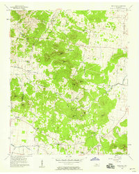
Other maps of this area

1916 · Murfreesboro
USGS Topo · 1:62,500

1936 · Chapel Hill
USGS Topo · 1:24,000

1936 · Rover
USGS Topo · 1:24,000

1936 · Fosterville
USGS Topo · 1:24,000

1942 · Lebanon
USGS Topo · 1:100,000

1944 · Shelbyville
USGS Topo · 1:100,000
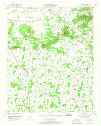
1949 · Rover
USGS Topo · 1:24,000
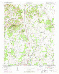
1949 · Chapel Hill
USGS Topo · 1:24,000
1949 · Fosterville
USGS Topo · 1:24,000

1950 · Walterhill
USGS Topo · 1:24,000