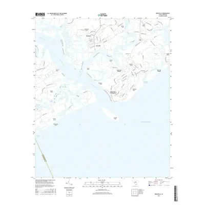
2017 Map of Rockville
USGS Topo · Published 2017About this map
Wadmalaw Island and the neighboring sea islands dominate this maritime landscape where the North Edisto River meets the Atlantic Ocean. The settlement of Rockville sits along the Bohicket Cr, a historic gateway for coastal navigation near the modern residential developments of Seabrook Island. The map illustrates the transition from traditional riverfront life to modern coastal living, with established nodes like Rockland and Camp Saint Christopher anchoring the shoreline.
Find a feature on this map
83 named features on this map. Tap any name to fly to it.
Don’t see what you’re looking for? This feature index may not catch every label — zoom into the map to look around manually.
Map Details
Editions of this 2017 Rockville Map
This is the sole edition of this map. No revisions or reprints were ever made.
Other maps of this area

1918 · Kiawah Island
USGS Topo · 1:21,120

1919 · Edisto Island
USGS Topo · 1:62,500

1919 · Wadmelaw Island
USGS Topo · 1:62,500

1919 · Legareville
USGS Topo · 1:21,120

1920 · St. Helena Sound
USGS Topo · 1:62,500

1943 · Legareville
USGS Topo · 1:24,000

1943 · Edisto Island
USGS Topo · 1:62,500

1943 · Kiawah Island
USGS Topo · 1:24,000

1944 · Wadmelaw Island
USGS Topo · 1:62,500

1947 · Savannah
USGS Topo · 1:250,000