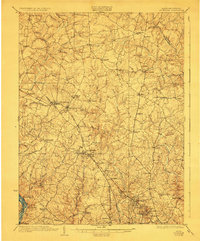
1923 Map of Rockville
USGS Topo · Published 1928About this map
Rockville stands as the central hub of this Maryland landscape, captured during a period of steady transition from rural agriculture to commuter proximity. The Baltimore and Ohio Railroad slices diagonally across the terrain, linking key settlements like Gaithersburg, Washington Grove, and Derwood. The upper portions of the map reveal a dense network of farming villages and crossroad communities such as Laytonsville, Olney, and Sandy Spring, many of which maintain their historical character today. Notable institutional landmarks are present, including the National Park Seminary and the Montgomery Country Club, reflecting the early 20th-century development of the region's social and educational infrastructure. Waterways like Great Seneca Creek and the Hawlings River define the drainage patterns of the rolling countryside, while the Potomac River forms the southwestern boundary, providing a glimpse into the river-and-rail economy that shaped Montgomery County before the mid-century suburban expansion.
Find a feature on this map
80 named features on this map. Tap any name to fly to it.
Don’t see what you’re looking for? This feature index may not catch every label — zoom into the map to look around manually.
Map Details
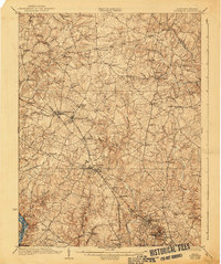
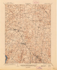
Editions of this 1923 Rockville Map
4 editions found

Other maps of this area

1890 · Mt. Vernon
USGS Topo · 1:125,000

1891 · Mt. Vernon
USGS Topo · 1:125,000

1892 · Laurel
USGS Topo · 1:62,500

1892 · Ellicott
USGS Topo · 1:62,500

1893 · Frederick
USGS Topo · 1:125,000

1894 · Ellicott
USGS Topo · 1:62,500

1894 · Laurel
USGS Topo · 1:62,500

1894 · Frederick
USGS Topo · 1:125,000

1894 · Mt. Vernon
USGS Topo · 1:125,000

1897 · Laurel
USGS Topo · 1:62,500