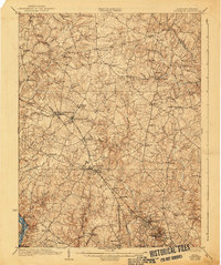
1923 Map of Rockville
USGS Topo · Published 1940About this map
Rockville and its surrounding Montgomery County landscape appear here during a transformative era of suburban and agricultural development. The Baltimore and Ohio Railroad cuts a diagonal path through the terrain, anchoring a string of rail-dependent communities like Gaithersburg, Washington Grove, and Derwood. To the southwest, the Potomac River forms a sharp natural boundary, bordered by the engineering feat of the Chesapeake and Ohio Canal.
Find a feature on this map
74 named features on this map. Tap any name to fly to it.
Don’t see what you’re looking for? This feature index may not catch every label — zoom into the map to look around manually.
Map Details
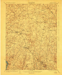
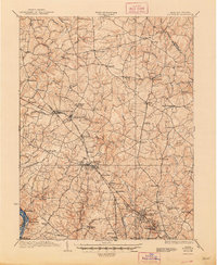
Editions of this 1923 Rockville Map
4 editions found

Other maps of this area

1890 · Mt. Vernon
USGS Topo · 1:125,000

1891 · Mt. Vernon
USGS Topo · 1:125,000

1892 · Laurel
USGS Topo · 1:62,500

1892 · Ellicott
USGS Topo · 1:62,500

1893 · Frederick
USGS Topo · 1:125,000

1894 · Ellicott
USGS Topo · 1:62,500

1894 · Laurel
USGS Topo · 1:62,500

1894 · Frederick
USGS Topo · 1:125,000

1894 · Mt. Vernon
USGS Topo · 1:125,000

1897 · Laurel
USGS Topo · 1:62,500